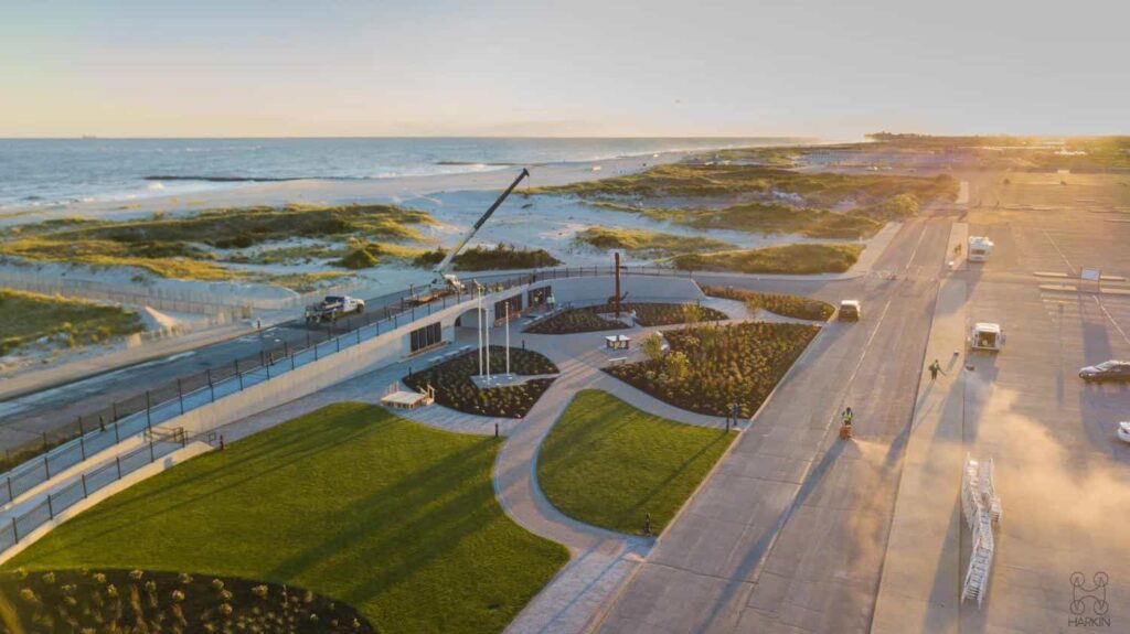
Harkin Aerial has a new website. It is built to show what we do, who we do it for, and how to get started. It is also where we will share news and case studies as we finish them.
Who we are
Harkin Aerial was founded in 2016 to meet a fast-growing need for engineering-grade aerial data. We are an aerial reality capture company based in Oyster Bay, New York, and we serve architects, engineers, surveyors, preservation firms, and legal professionals.
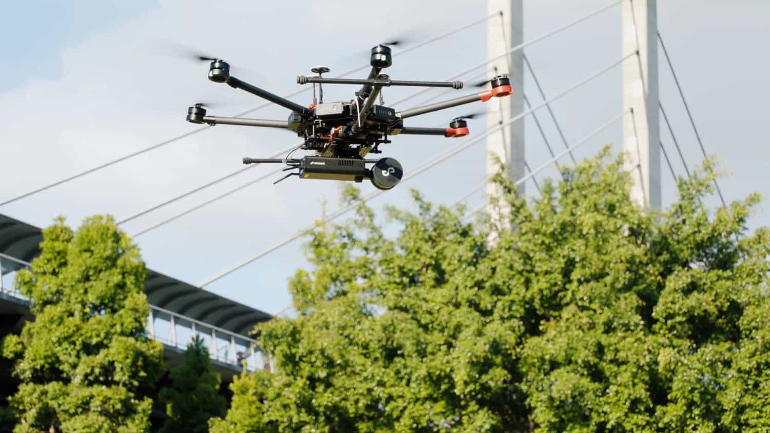
We treat every project as engineers first, and drone pilots second. Every full-time team member is a degreed engineer, and we capture and process all of our data in house. If drone capture is not right for your project, we will be the first to tell you.
What we do
Reality capture covers a lot of ground, so we built our services around the full life of a project, from capturing a site to handing over files your team can use.
- Aerial mapping: LIDAR and photogrammetry from the air, delivered as maps, models, and measurements your team can use.
- Training: Learn drone operations from the people who run them.
- Ground laser scanning: Every wall, pipe, and corner, captured as it stands.
- Drone data processing: Your flight data, turned into answers.
- As-builts, CAD and BIM: From point cloud to plans your team can build from.
- Inspections and thermal imaging: See the problem before it becomes the repair.
- Forensics and expert witnesses: Measurements and visuals you can stand behind.
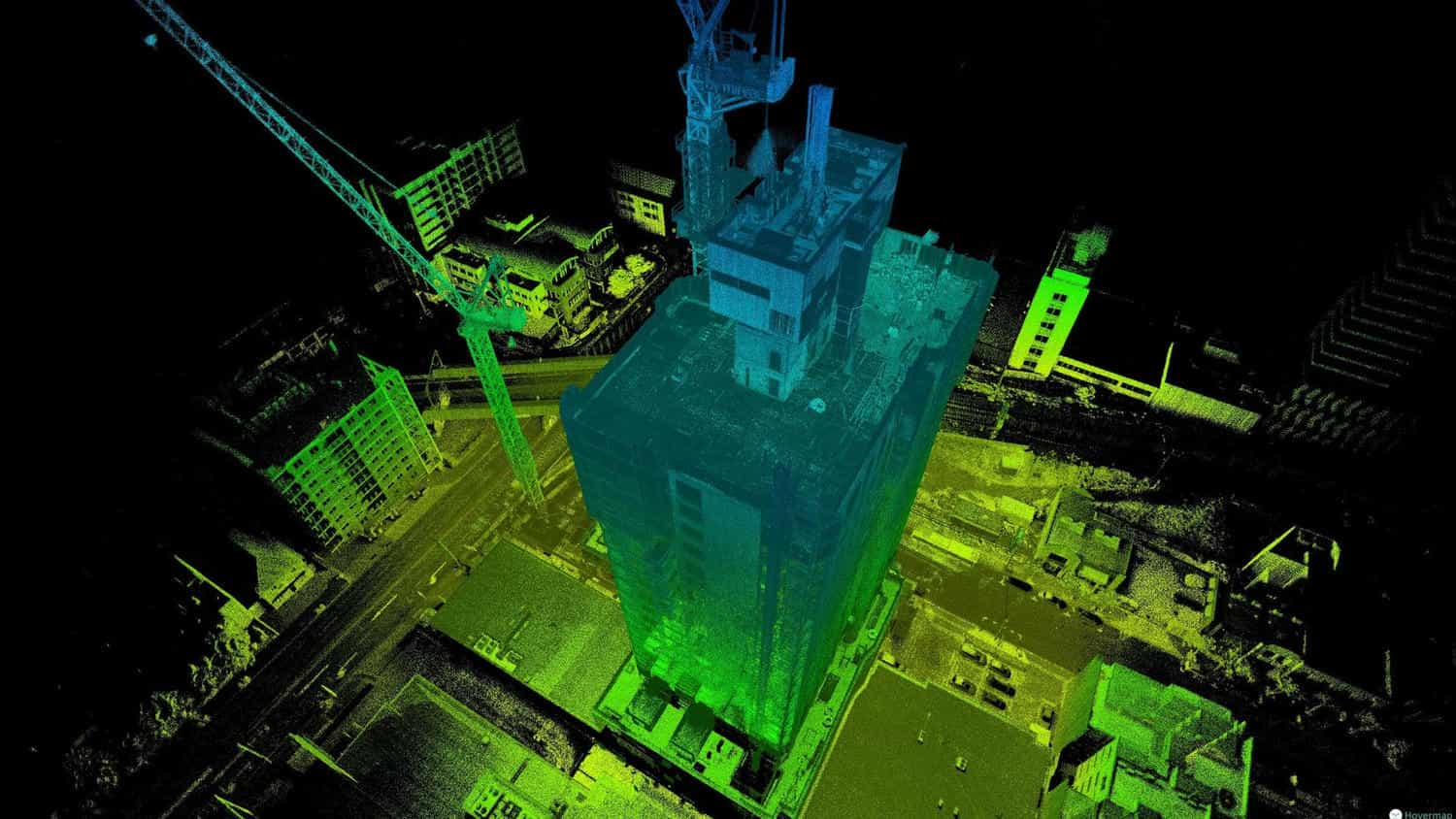
Teaching is part of how we work too. If we offer a service, we offer world-class training on it as well, because the best client relationships start with education.
Who we work with
Our clients are civil and environmental engineers, land surveyors, architects, cultural preservation teams, GIS professionals, manufacturers, and legal teams. Harkin is FAA Part 107 certified and fully insured.
What is next
Look around the new site, and check back here for news and case studies. In the meantime, if you have a project in mind, reach out. We are always happy to provide a free consultation to guide your team toward success.
Start a project, call 516-584-3035, or email scott@harkin.io.