 Call
Call
Services | 04
Your flight data, turned into answers.
Overview
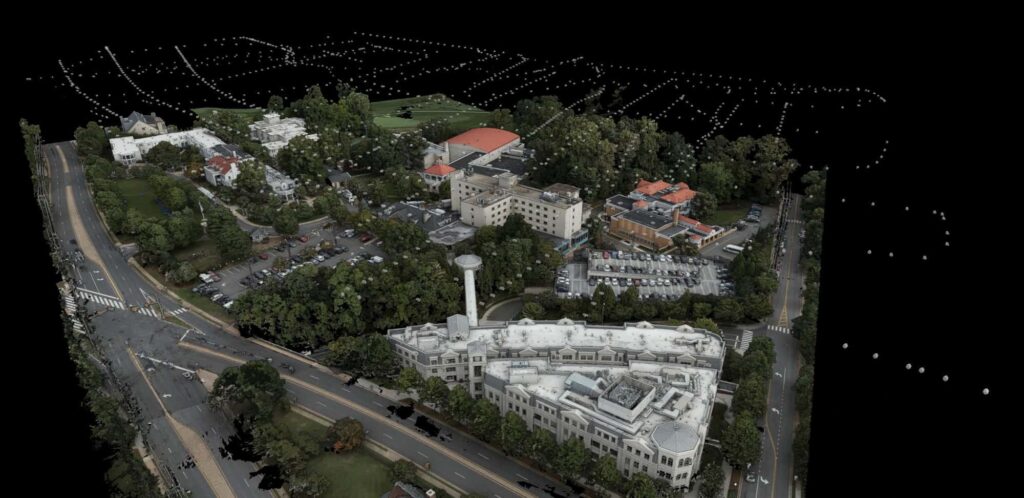
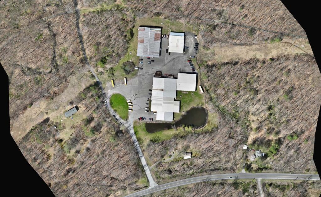
Raw photos and scans do not help anyone until they are processed correctly. Harkin processes photogrammetry and LIDAR data into point clouds, meshes, orthomosaics, and surface models, with an engineer reviewing the result. We have processed everything from city landmarks to full college campuses.
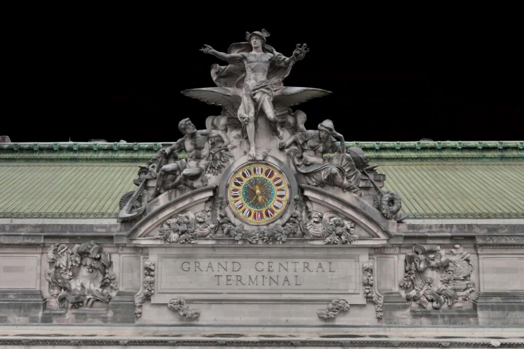
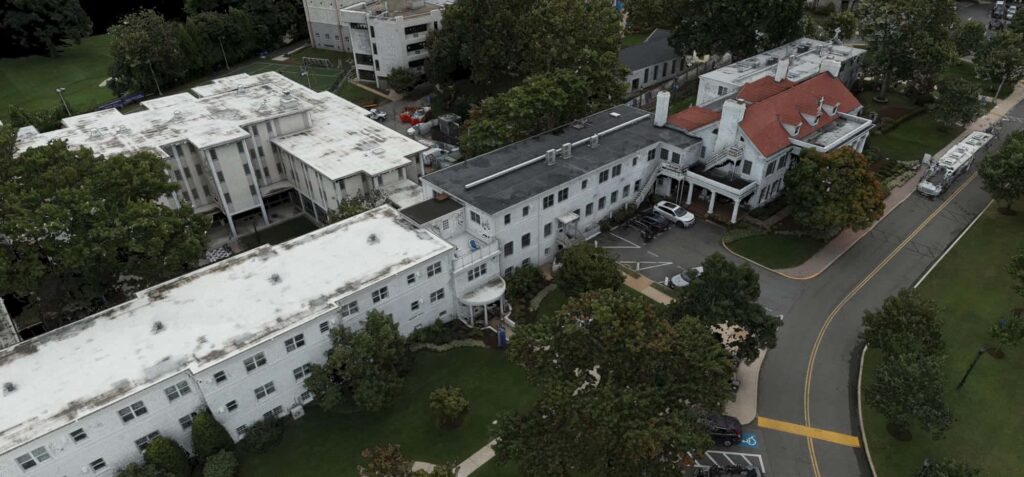
Whether we flew the site or your own team did, we can take it from raw data to a deliverable you can use.
Explore the model

Click the player to view and explore the 3D model
What you get
01
Raw captures turned into accurate, usable data.
02
Standard deliverables built from your flight data.
03
Elevation products ready for design work.
04
A degreed engineer checks the result before it ships.
From the pipeline
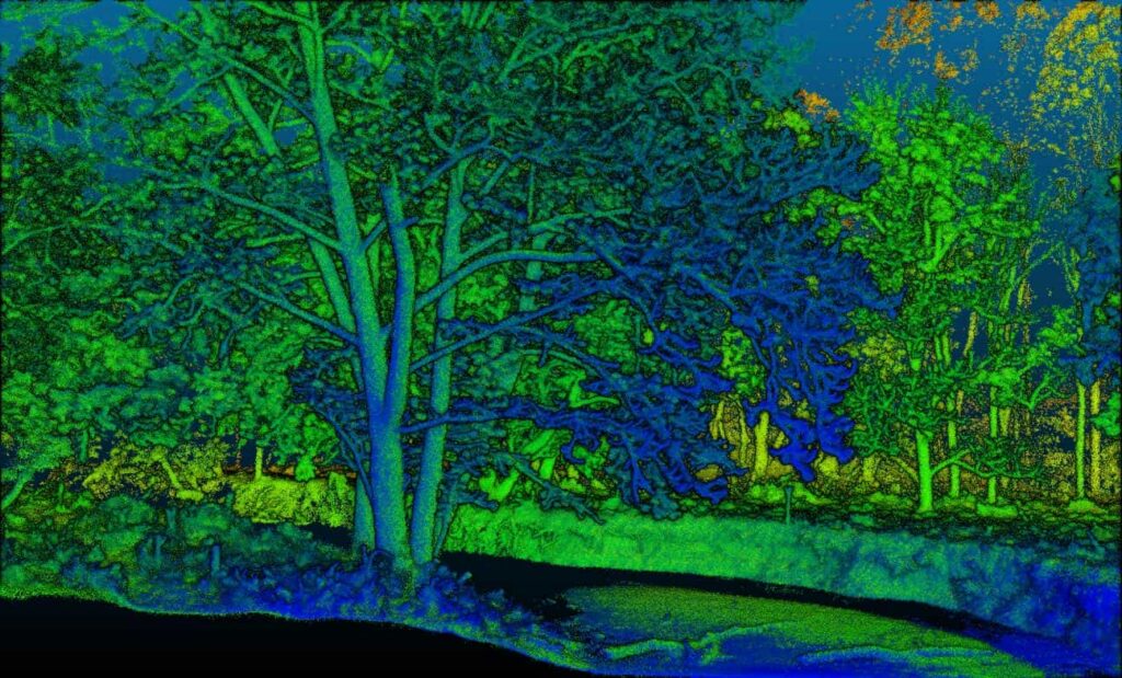
LIDAR point cloud
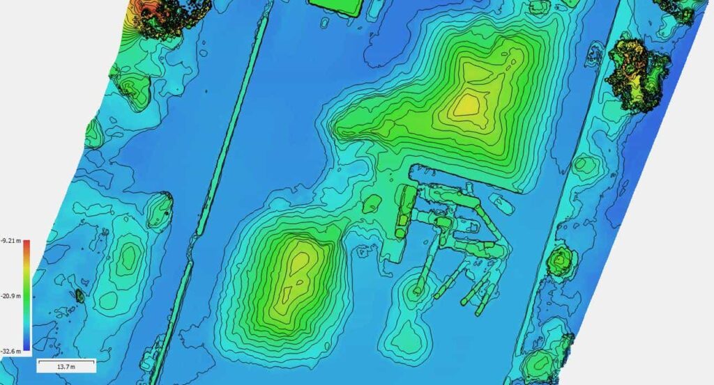
Contours from drone data
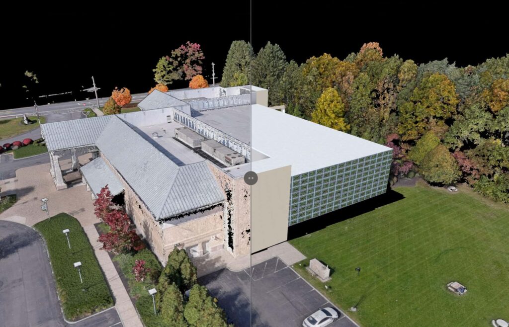
Point cloud to BIM
Who uses it
Next step
Have data to process? Send it over.
Start a project