 Call
Call
Industries | 07
Scene documentation built for the courtroom.
Overview
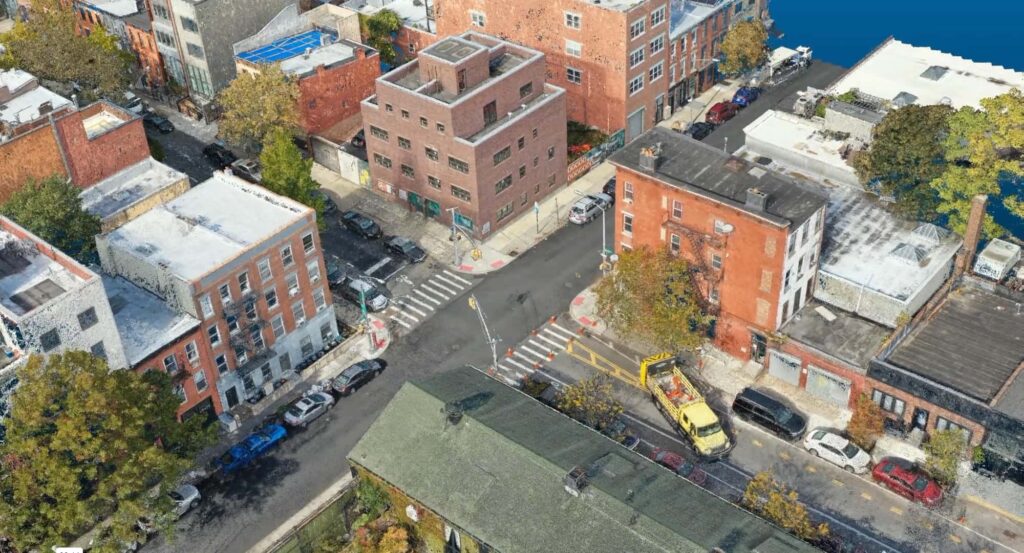
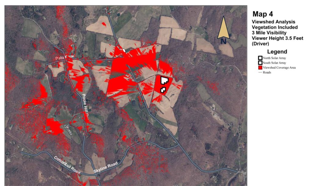
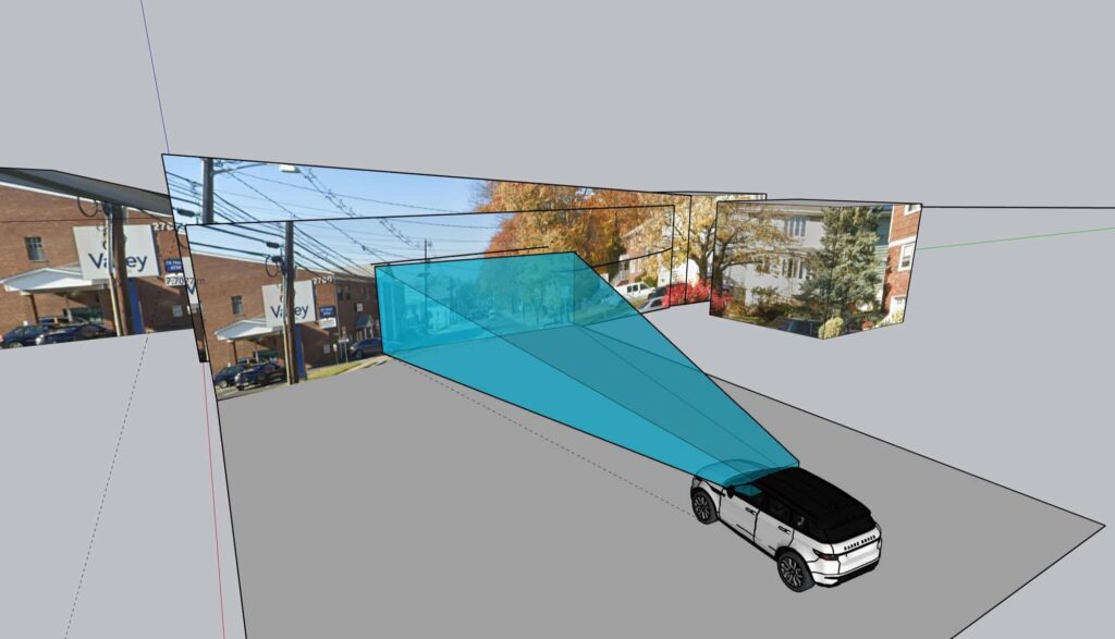
Accurate evidence starts with accurate measurement. Harkin documents scenes with drones and scanners, then builds the visuals and analysis that make them clear: overhead imagery with measurements, 3D sight line reconstructions, and visibility studies. Our work has also supported investigative news reporting.
Built for attorneys, investigators, insurers, and reporters.
What we capture
01
Measured views of the scene from above.
02
Reconstructions that show what could be seen.
03
Visibility studies across distance and terrain.
04
Exhibits built for the courtroom, and expert witness testimony when you need it.
From the record
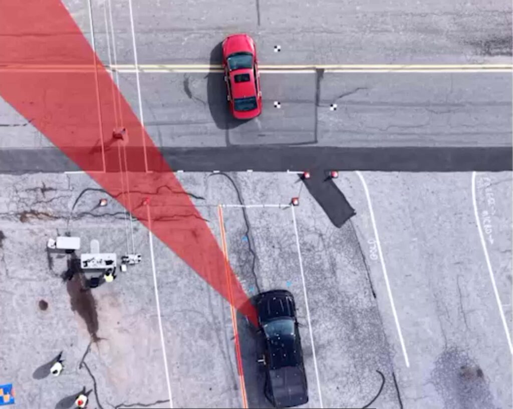
Overhead crash scene with sight line
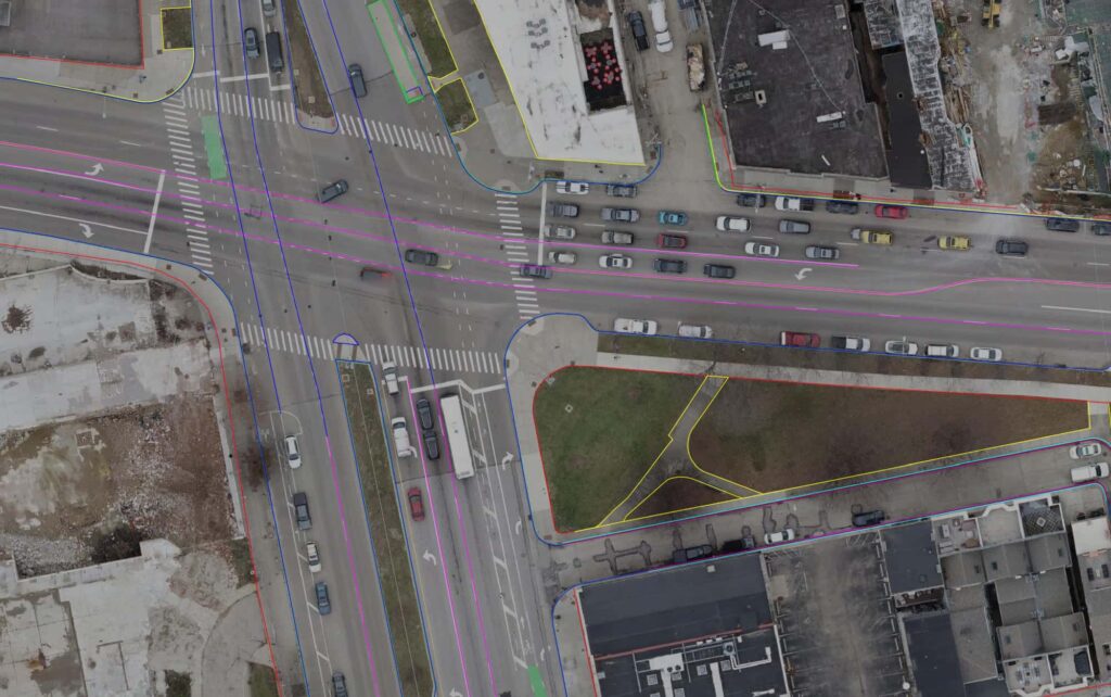
Plan survey over an aerial of an intersection
An intersection from above
Services we use
Next step
Need to document a scene? Call us first.
Start a project