 Call
Call
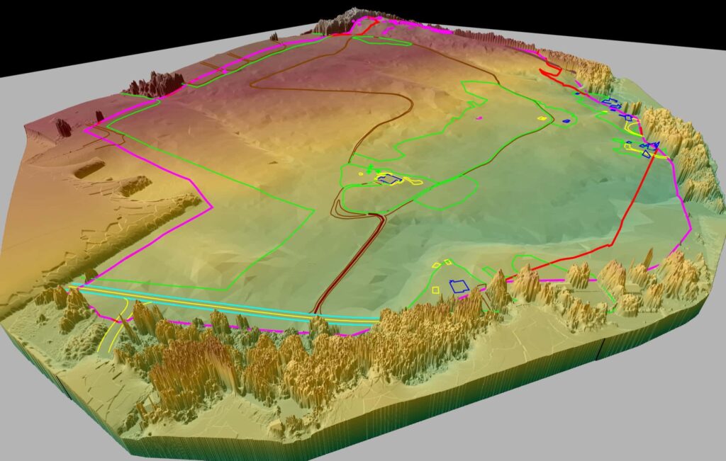
Harkin Aerial
We treat all projects as engineers first, and reality capture professionals second.
From the field
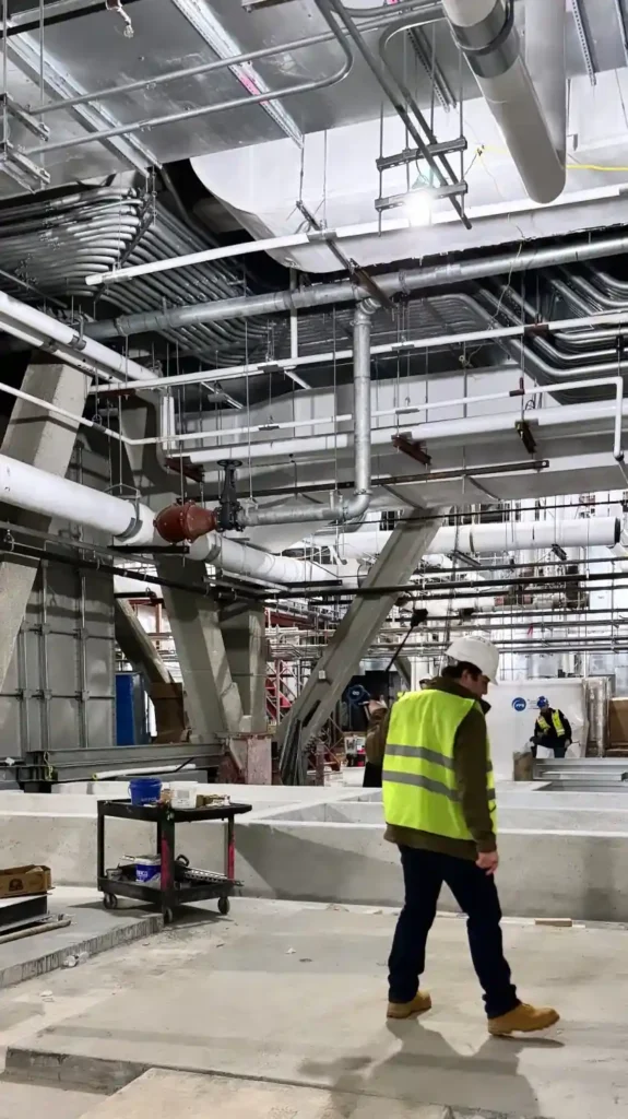
Reviewing scan data on site
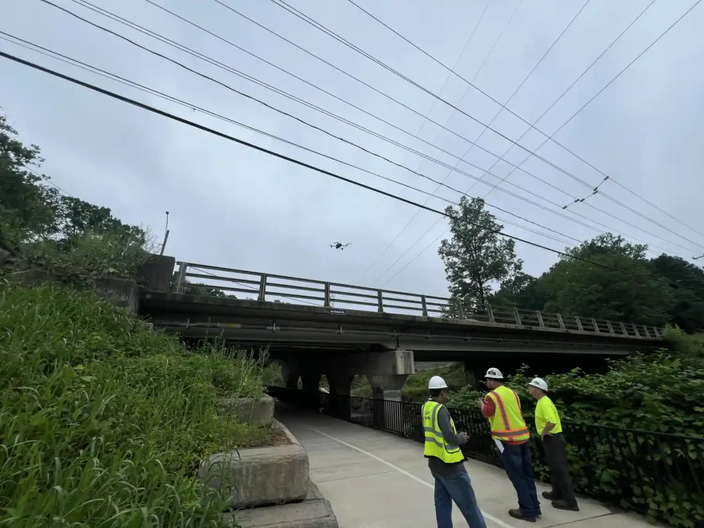
On site beside a bridge
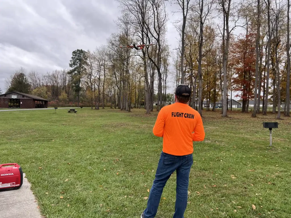
Flight crew in the field
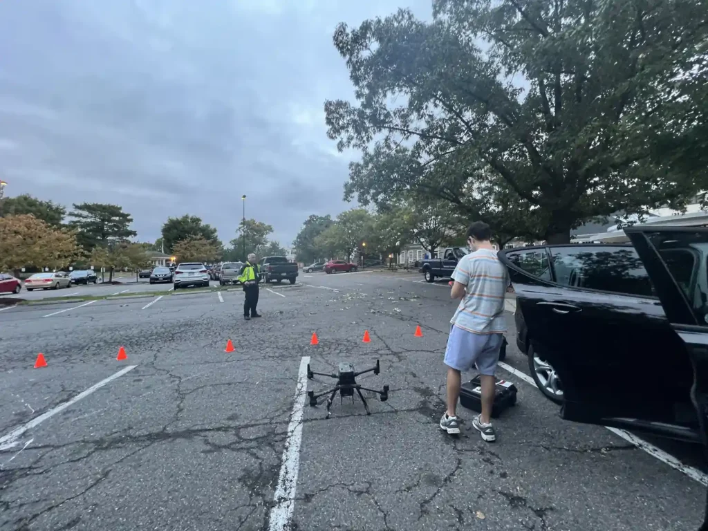
Setting up a drone flight
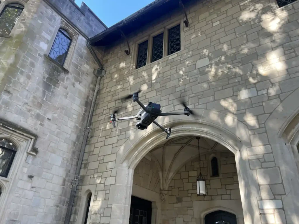
Capturing a campus building
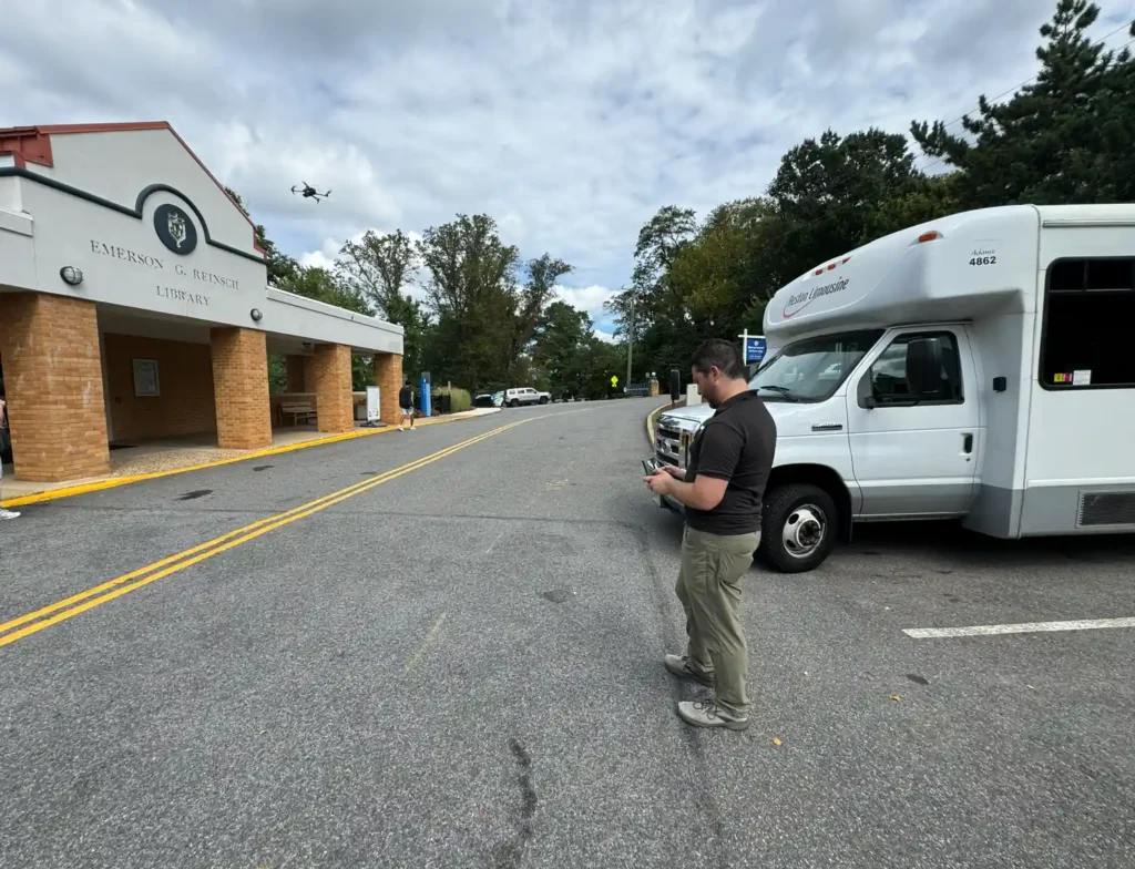
Piloting a survey flight
What sets us apart
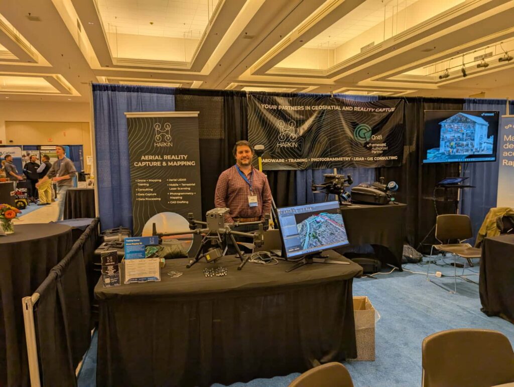
Every full time team member at Harkin Aerial is a degreed engineer, from our project managers to our LIDAR production team. Our team has an extensive background in civil, mechanical, industrial, MEP engineering and surveying.
Mentorship and training
We strongly promote employee mentorship and continued learning in engineering, surveying and architecture, because we believe the best drone mapping and 3D scanning teams are AEC professionals who happen to know reality capture, not the other way around. Already implementing, or want to implement, drones and scanning at your firm? We offer world-class drone mapping and 3D scanning training programs to show you the best end-to-end workflows and get the best return on your drone investments.
See our trainingWho we are
01
Founded in 2016, Harkin Aerial was created to address the rapidly growing need for engineering-grade aerial data. Created by engineers, for engineers (and all AEC professionals!), Harkin provides the full solution for capturing existing data on project sites, buildings, and structures. When it comes to reality capture, we do it all – from aerial inspections, to ground laser scans, to large-scale orthomosaics. We capture and process all data in house, and our team of CAD technicians and 3D modelers produce final as-builts suitable for engineering projects, such as 2D site plans, 3D BIM models, and orthomosaic maps – all validated and tied to survey control.
Our goal is to be your aerial reality capture expert through the entire lifecycle of your project. Projects vary considerably in complexity, size, and accuracy need, so we treat each project as engineers first, and drone pilots second – if aerial/drone capture isn’t right for your project, we’ll be the first to tell you! That’s why we also provide ground laser scanning, GIS mapping, training, and expert consulting to ensure your project is a success, drone or no drone! And if your project needs are truly outside our wheelhouse, we have an extensive network of trusted surveying, engineering, and inspection partners who are up to the task.
Teaching and mentoring are part of our core values – if we offer a service, we offer world-class training on it too. Our philosophy is the best client relationships happen when education happens early and often.
We have a strong track record of helping clients bring aerial imaging and scanning in-house as their needs grow beyond contracted services. That’s why we offer photogrammetry and LIDAR data processing as well – so your team can do the part you’re good at (being on site and capturing data) and we handle the tedious part (processing, QC, CAD drafting, and final deliverables).
No matter what your project need is – reach out to us. We’re always happy to provide a free consultation to guide your team towards success!
02
It’s 2016 – and Harkin founder Scott Harrigan is a few years into his career as an MEP engineer at a multidisciplinary AEC firm.
He has to climb rooftops (and lots of them!) to look at existing conditions for installing new equipment. He’s lucky if he can even get to the project’s roof. Access is never a guarantee. Existing aerial imagery from airplanes or satellites, while helpful, never seems to show him what the site actually is like right now. As he soon learns from his manager, documenting existing conditions isn’t free. Site visits are essential, but take up a lot of precious time. Assumptions are made early to keep work moving, and Scott spends a lot of time measuring things in the field, only to go back to the drawing board on early assumptions. He becomes familiar with using satellite imagery for CAD drafting, but the low resolution and age of the imagery is not ideal. If only there was a better way…!
Meanwhile, outside of work Scott is introduced to drone technology through friends in the filmmaking industry. The day he sees aerial video flying over a 20-story Manhattan rooftop, he’s sold.
While in 2016, filmmaking is the frontier industry for commercial drone operations, Scott immediately starts to look into the possibilities of using drones for rooftop inspections on his day job. Soon he purchases his first drone. After much practice flying, testing cameras, and spending nights and weekends learning the ropes on photogrammetry – the ability to measure sites in 3D using aerial photos – Scott pitches the idea of drones to his day job.
He soon realizes that reality capture and MEP engineering are two separate, full-time endeavors. After much consideration, he jumps into Harkin Aerial full time, to deliver the aerial imagery, maps and inspections he sought as a design engineer. The rest is history!
While our drone and scanning technology has come so far in the 10 years since we started Harkin Aerial, our core principles haven’t changed. We believe more than ever that the best reality capture professionals are engineers, architects, and surveying professionals at their core. That’s why Harkin is staffed entirely by degreed engineers from the AEC industry, who understand your workflow because they’ve been there too.
Now, as Harkin continues to hire new expertise, add new drones to our fleet, and offer new training packages for you – we’ll never lose sight of our goal: To deliver the best aerial data and training to you, so you can deliver your best work.
03
Scott Harrigan, founder of Harkin Aerial. He started his career as an MEP engineer at a multidisciplinary AEC firm, and founded Harkin in 2016 to deliver the aerial imagery, maps and inspections he had needed as a design engineer.

Next step
No matter what your project need is, reach out to us. We’re always happy to provide a free consultation to guide your team towards success!
Start a project