 Call
Call
Services | 07
Measurements and visuals you can stand behind.
Overview
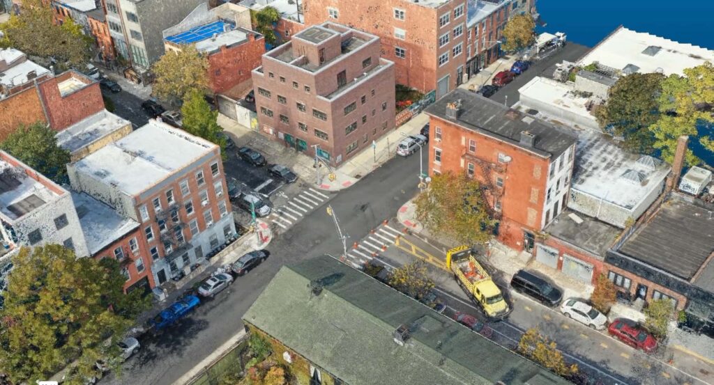
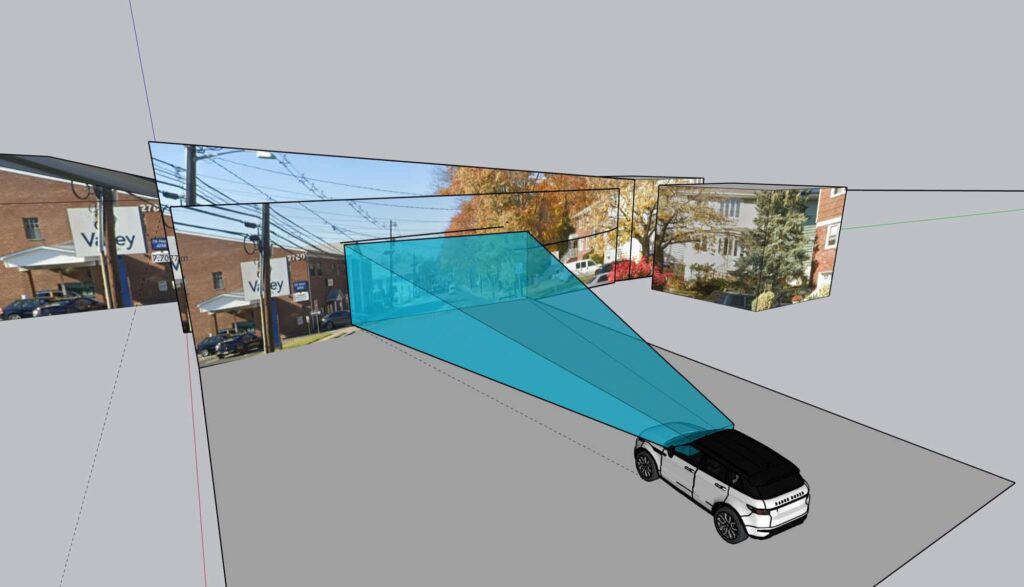
Harkin documents scenes from the air and the ground, then analyzes the data to answer specific questions: what was visible from where, how far, and from what angle. Overhead scene imagery, 3D reconstructions, sight line studies, and visibility maps give attorneys and investigators a clear, measurable picture.
Harkin testifies as an expert witness on LiDAR, GIS and mapping, and photogrammetry, and explains the methods and results to a judge, a jury, or opposing counsel.
What you get
01
Measured imagery of the scene from above.
02
A clear, measurable model of what happened where.
03
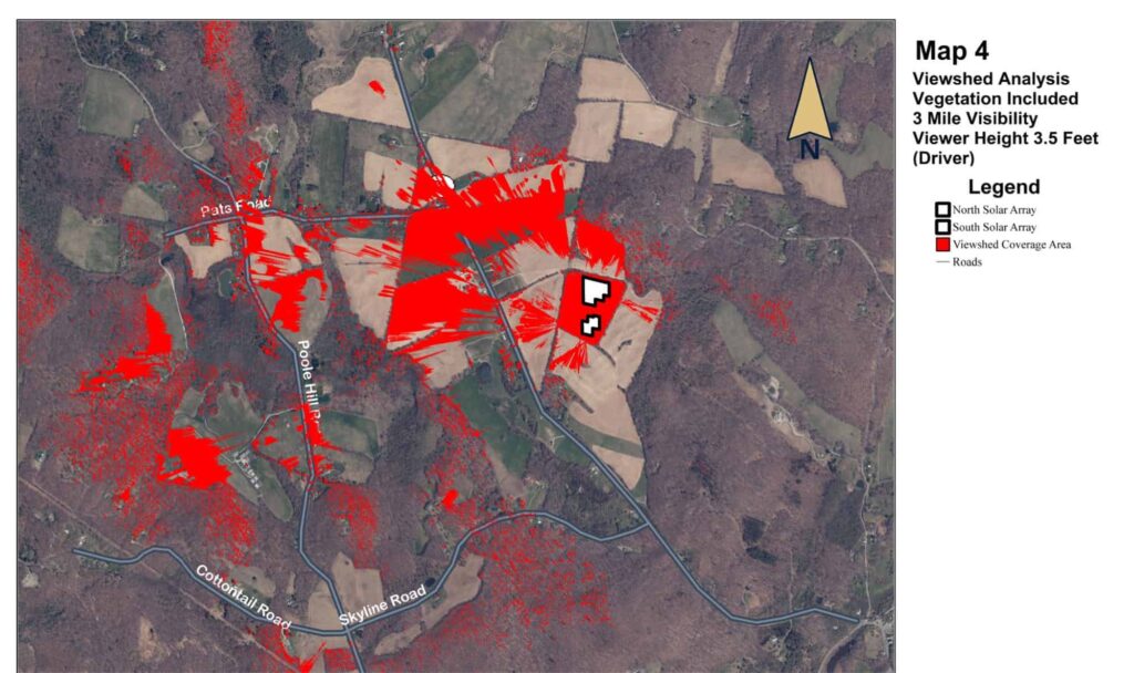
What was visible, from where, and how far.
04
Testimony on LiDAR, GIS and mapping, and photogrammetry.
From the record
Viewshed analysis, three mile visibility
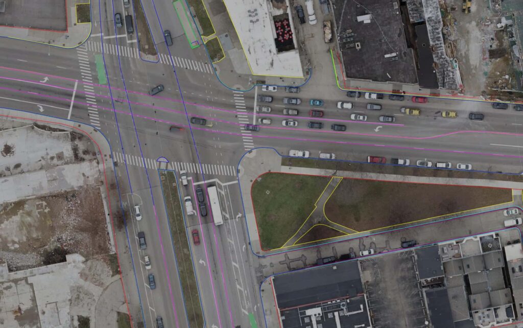
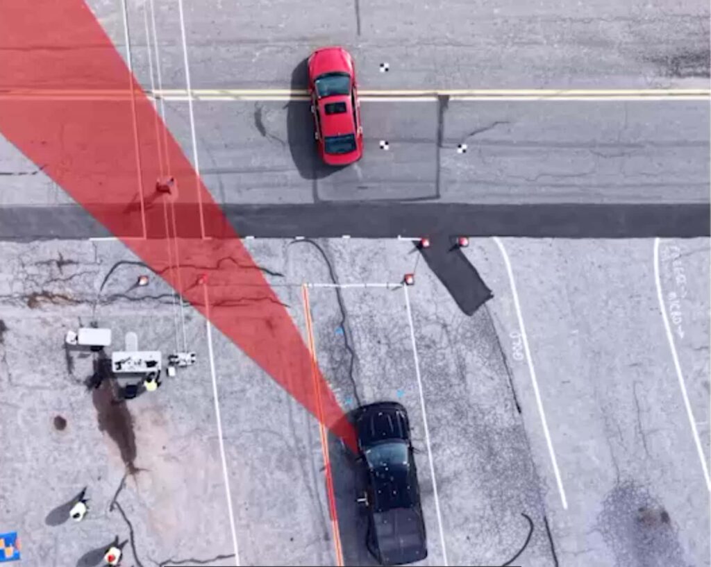
Plan survey over an aerial of an intersection
An intersection from above
Who uses it
Next step
Working a case? Contact us early.
Start a project