 Call
Call
Industries | 02
Faster field data for surveyors.
Overview
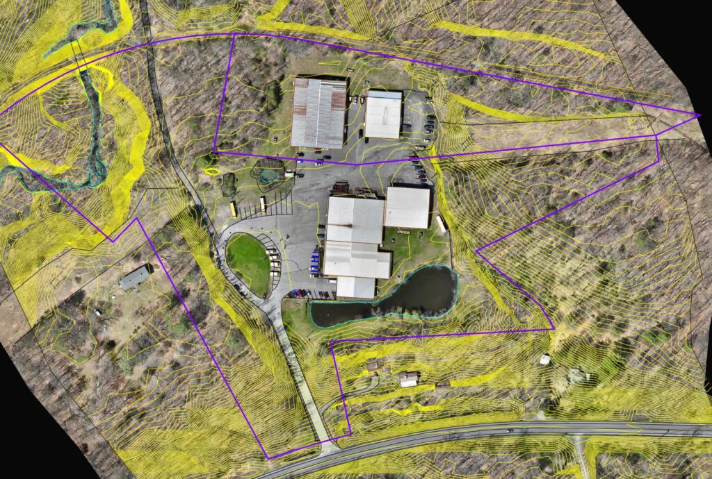
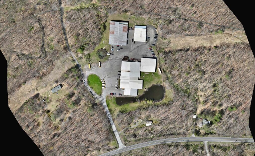
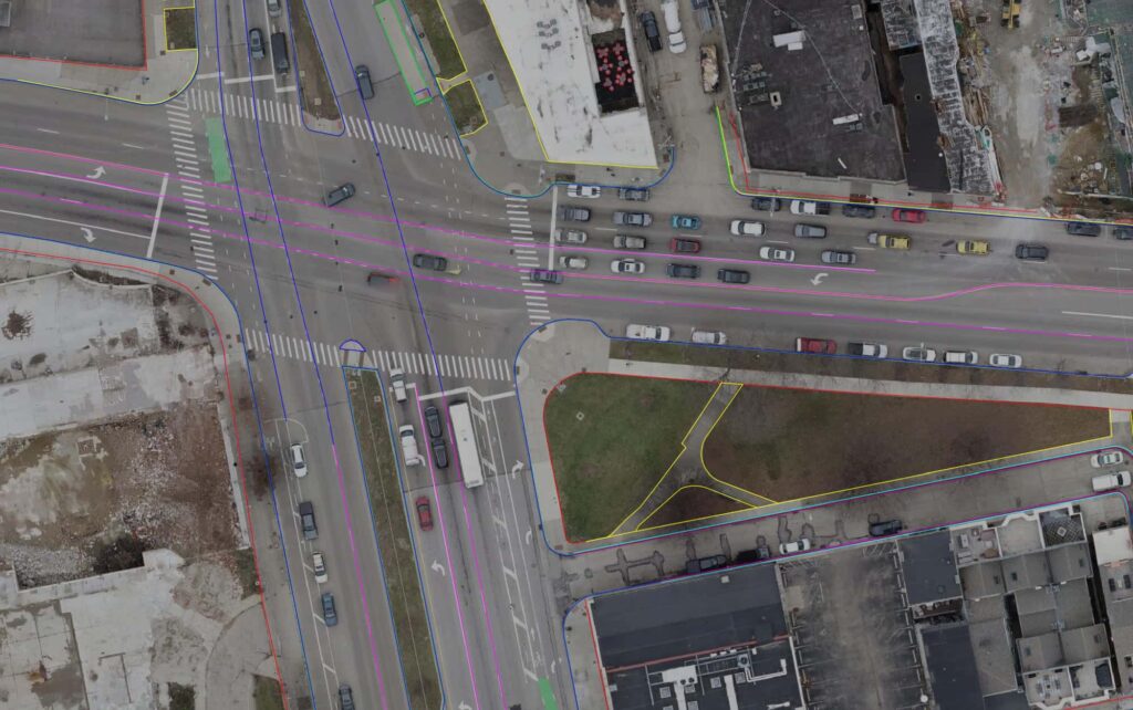
Drone mapping can cut field time and capture more of the site than a pole and a rod. Harkin delivers orthomosaics, terrain models, and topographic and plan linework, tied to ground control points so results match your project datum. We support licensed surveyors with the data and drafting, and the survey stays yours.
Built for land surveyors and survey firms.
What we capture
01
Mapping tied to GNSS control so results match your datum.
02
Imagery and surfaces covering more of the site.
03
Linework drafted from the aerial data.
04
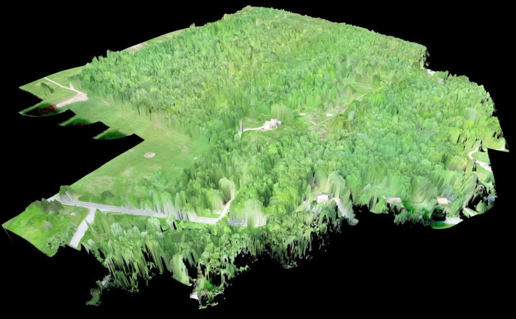
Surfaces ready for your drafting software.
From the field
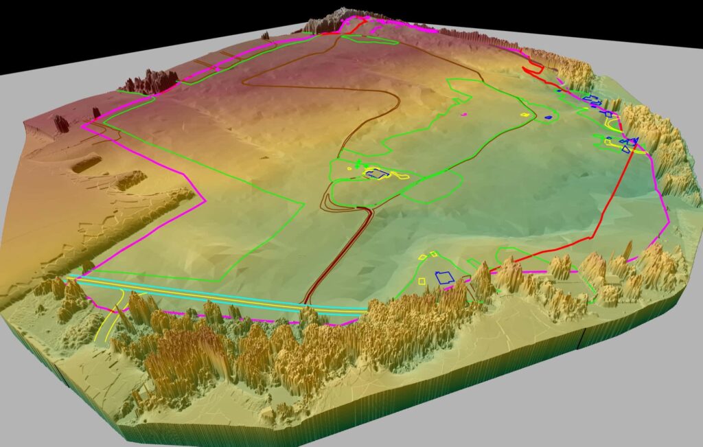
Terrain model with contours
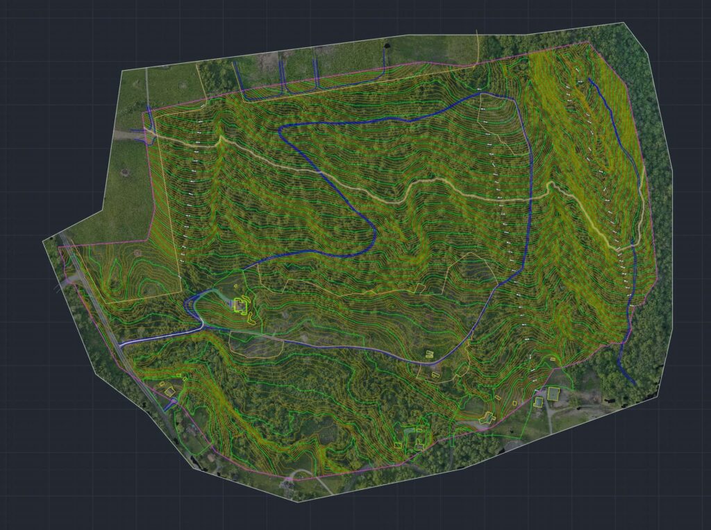
Terrain surface in CAD
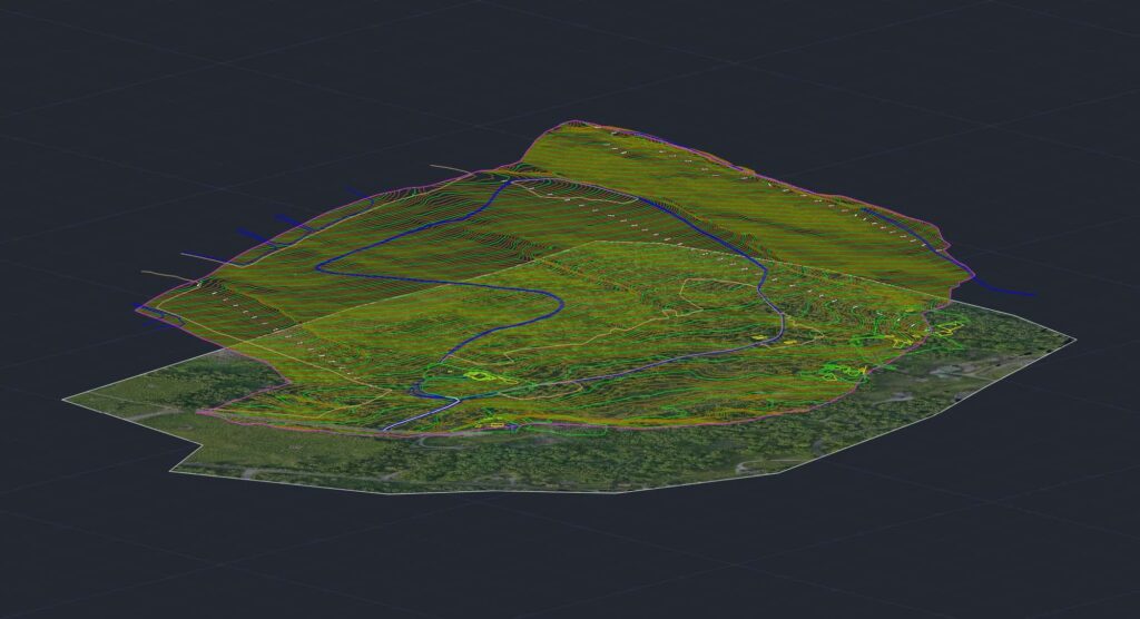
Terrain surface, oblique view
Services we use
Next step
Have a survey to support? Talk to us.
Start a project