 Call
Call
Services | 03
Every wall, pipe, and corner, captured as it stands.
Overview
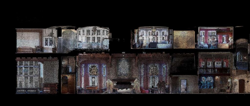
Not every project can be mapped from above. Ground-based laser scanning records interiors, mechanical rooms, building exteriors, and industrial plants as dense, measurable point clouds. We pair it with aerial capture when a project needs both inside and out.
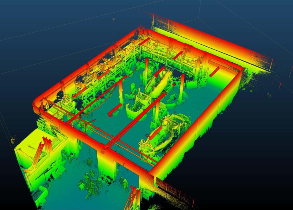
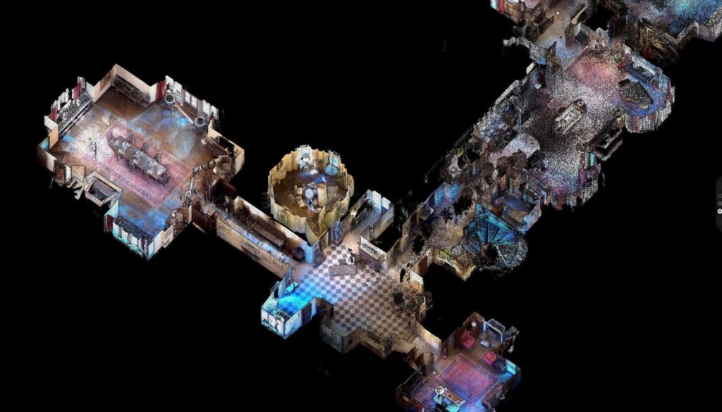
The scan is only the start. We deliver the point cloud, and when you need it, floor plans, elevations, and CAD drawings drawn directly from it.
Explore the model

Click the player to view and explore the 3D model
What you get
01
Dense, measurable scans of interiors, exteriors, and plants.
02
Floor plans and elevations drawn from the scan data.
03
Clear views of how a space goes together.
04
Interior scans combined with aerial capture when a project needs both.
From the scan
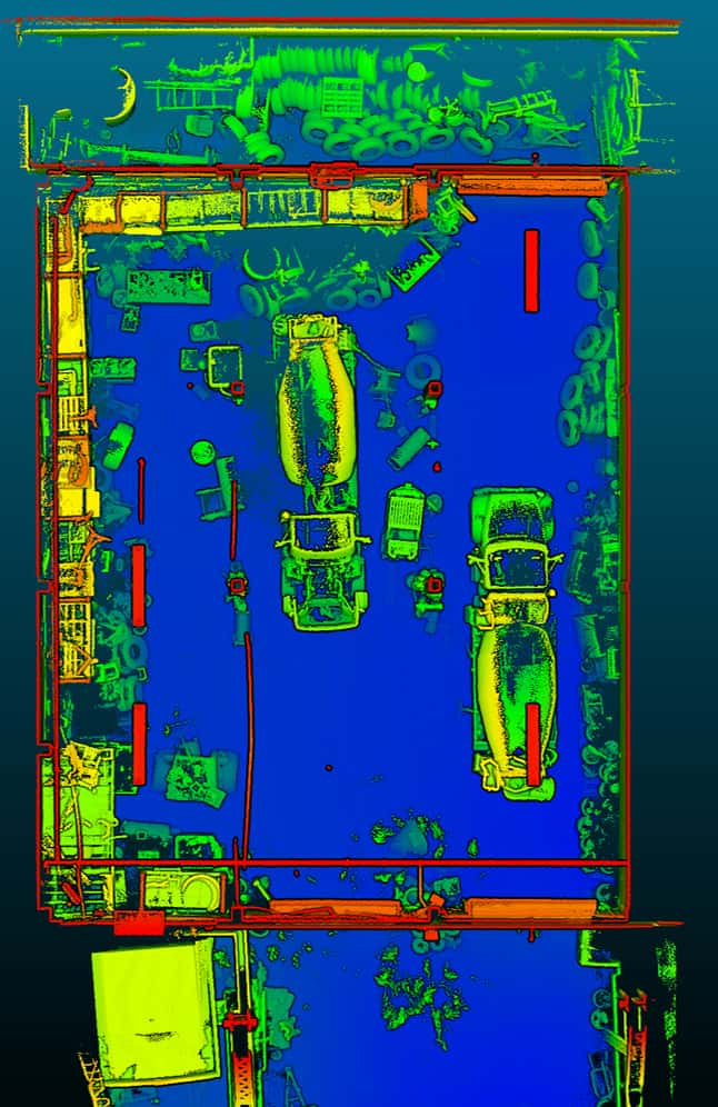
Scan floor plan
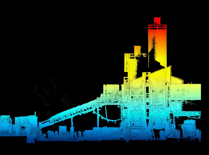
Industrial plant scan
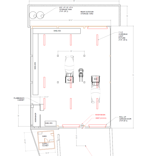
CAD drawn from the scan
Who uses it
Next step
Have a space to document? Tell us about it.
Start a project