 Call
Call
Services | 01
Measure the whole site, not just the part you can walk. LIDAR and photogrammetry from the air, delivered as maps, models, and measurements your team can use.
Overview
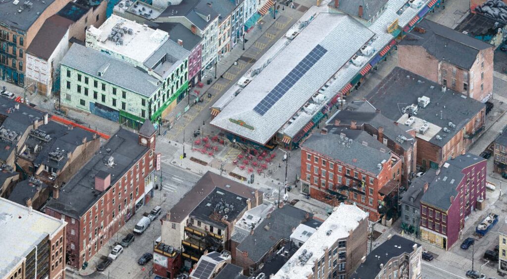
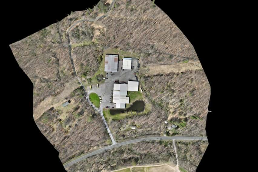
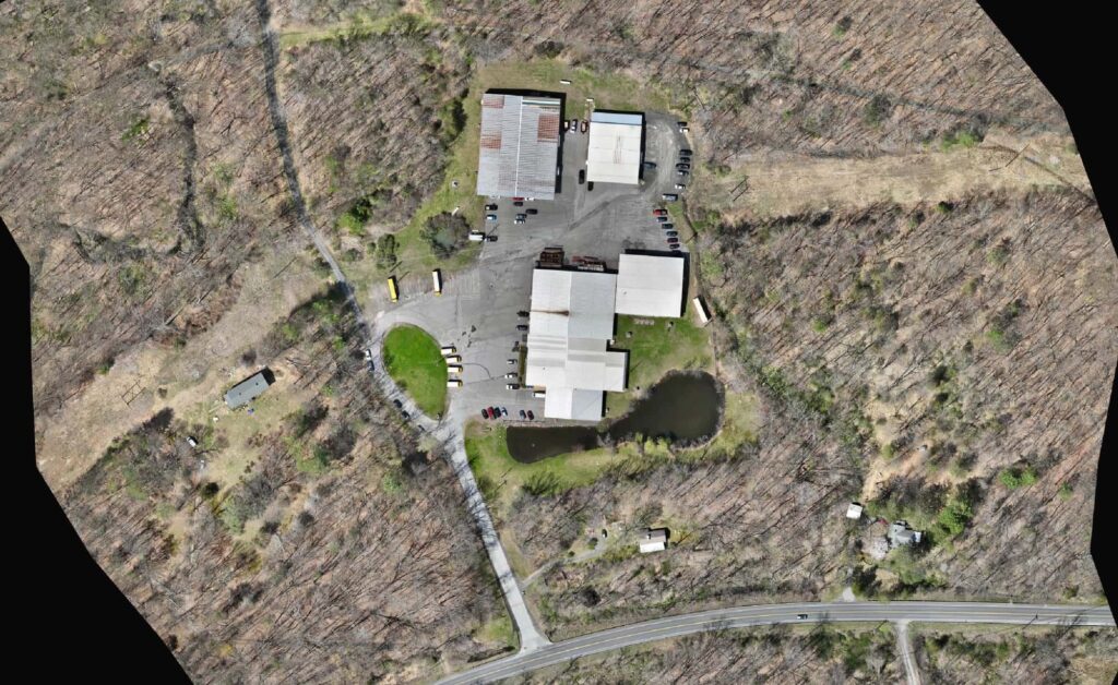
Harkin flies your site and delivers accurate 2D orthographic maps, 3D point clouds, and detailed models, our most requested products. Our drones capture the measurements you need to calculate stockpile and inventory volumes, check heights and elevations, and hand your designers CAD-ready surfaces.
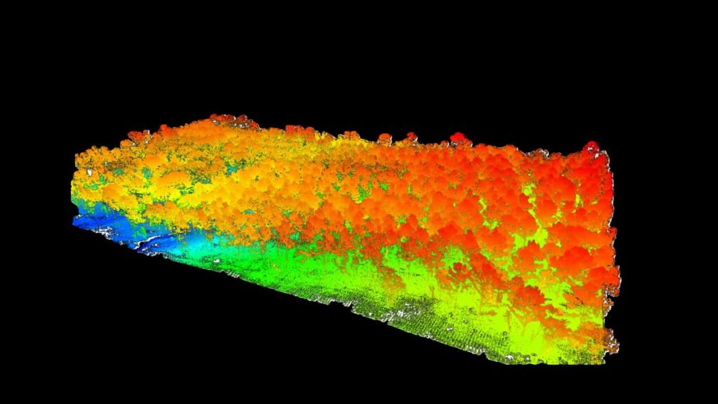
Photogrammetry shows what a camera sees. LIDAR measures the surface directly, works in complete darkness, and captures ground features between the leaves of wooded areas, so acreage that once took days on foot can be scanned in hours.
Explore the model

Click the player to view and explore the 3D model
What you get
01
Georeferenced aerial maps built from overlapping drone imagery.
02
Surface and elevation models, CAD-ready for your designers.
03
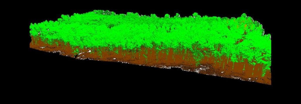
Dense 3D point clouds and textured models in standard formats.
04
Contours and volume reports for stockpiles, inventory, and earthwork.
Seen from above
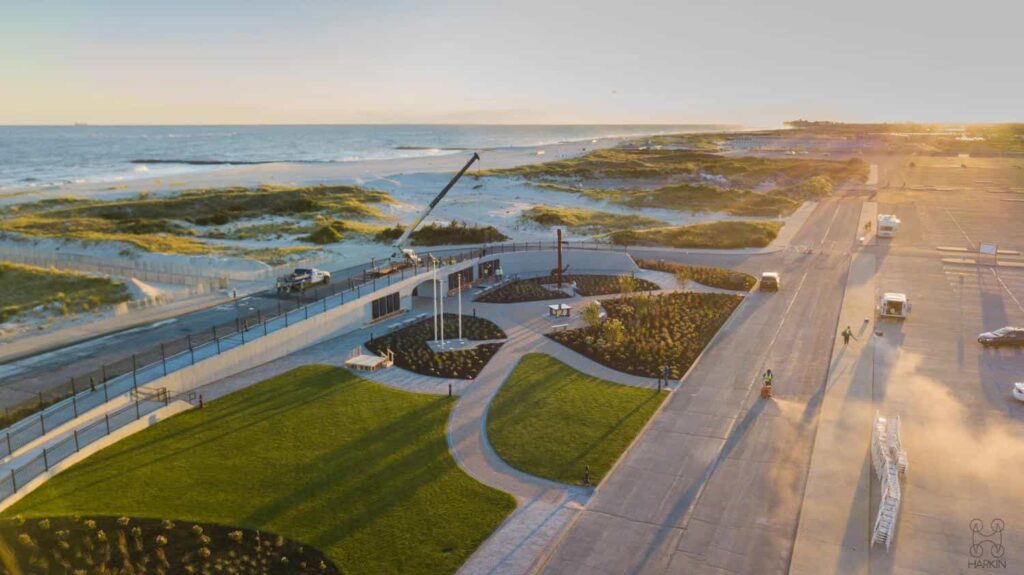
Aerial capture
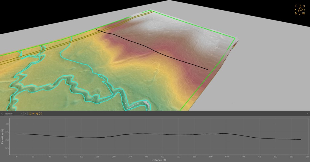
LIDAR profile
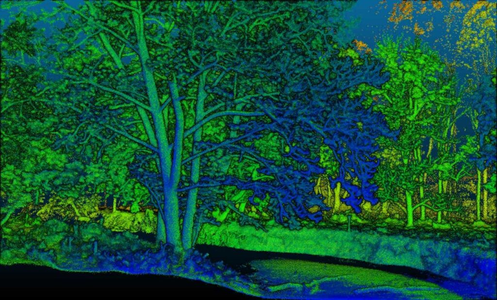
LIDAR point cloud
Who uses it
Next step
Planning a mapping project? Send us the site and we will tell you what it takes.
Start a project