 Call
Call
Industries | 05
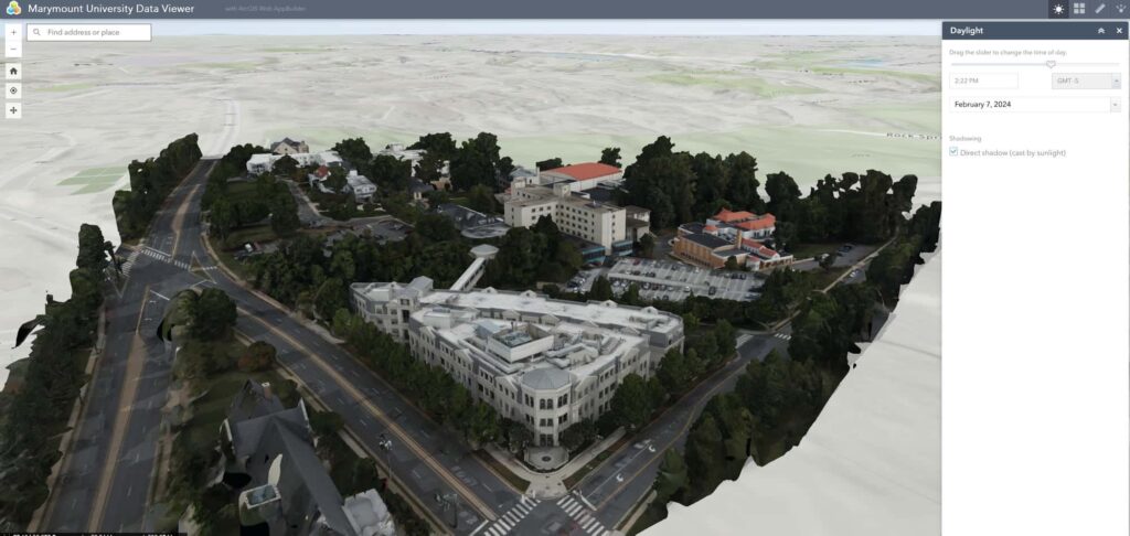
Aerial data that fits your GIS.
Overview
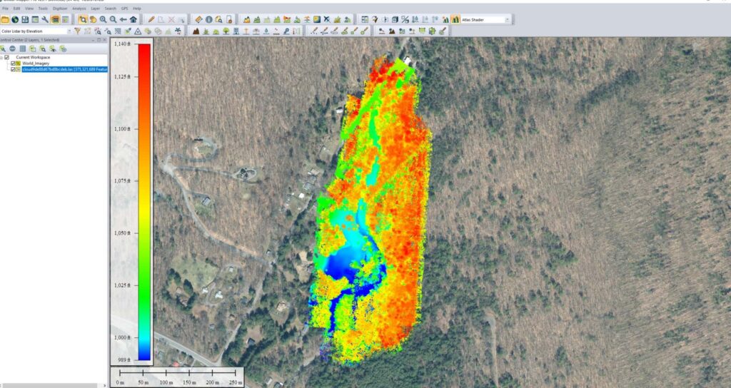
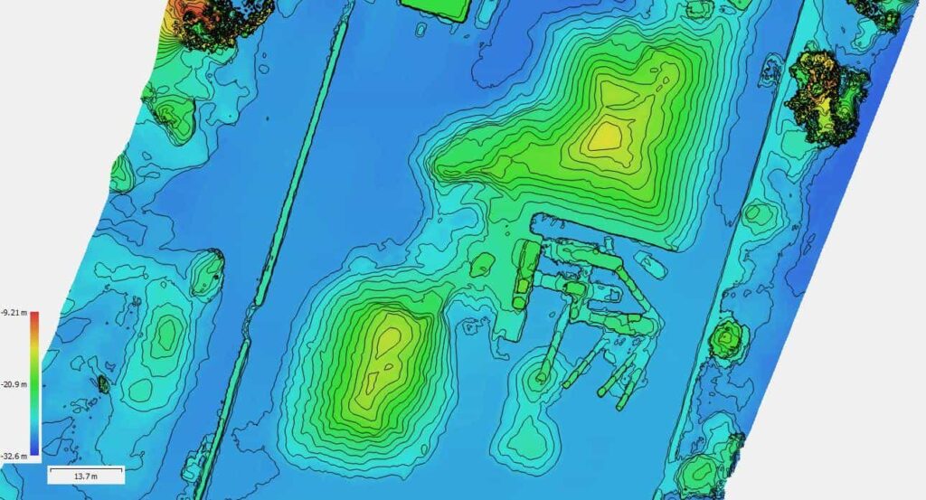
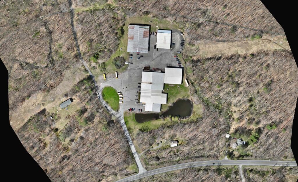
Our elevation models, orthomosaics, and point clouds are built to drop straight into your mapping software. LIDAR elevation rasters and photogrammetry meshes load into the GIS tools your team already uses, with consistent coordinate systems.
Built for GIS analysts, planners, utilities, and environmental teams.
What we capture
01
LIDAR and photogrammetry elevation, ready to map.
02
Aerial imagery registered to your coordinate system.
03
3D data that loads into GIS viewers.
04
Deliverables in the projection your team already uses.
On the map
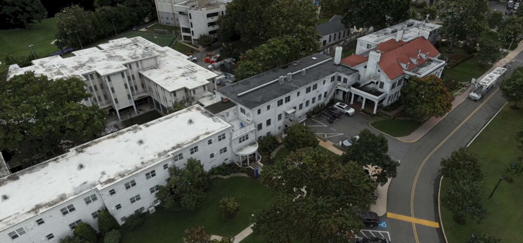
Marymount campus model
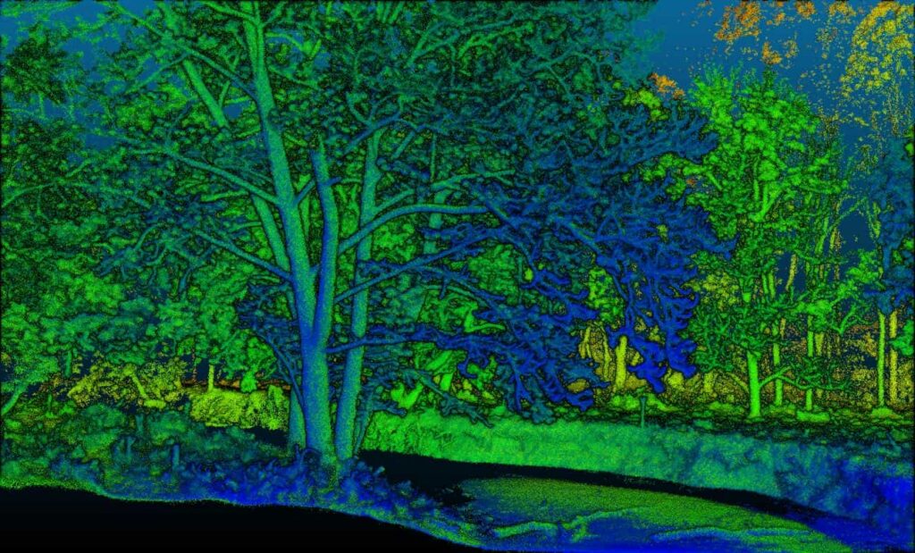
LIDAR point cloud, colored by height
Orthomosaic basemap
Services we use
Next step
Need data for your GIS? Tell us the format.
Start a project