516-584-3035

Call
▲
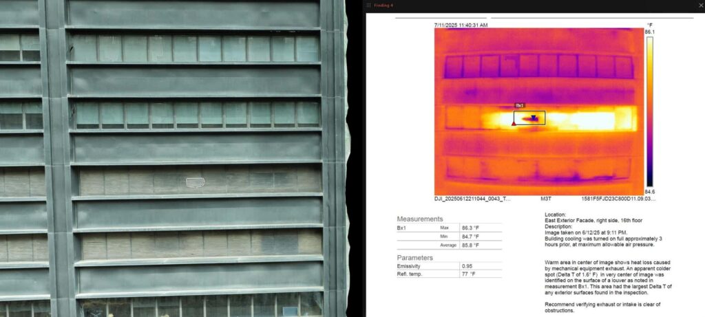
Facade inspection view with a thermal image and measurement report panel for a building exterior

Services | 06

Inspections and thermal imaging

See the problem before it becomes the repair.

Overview

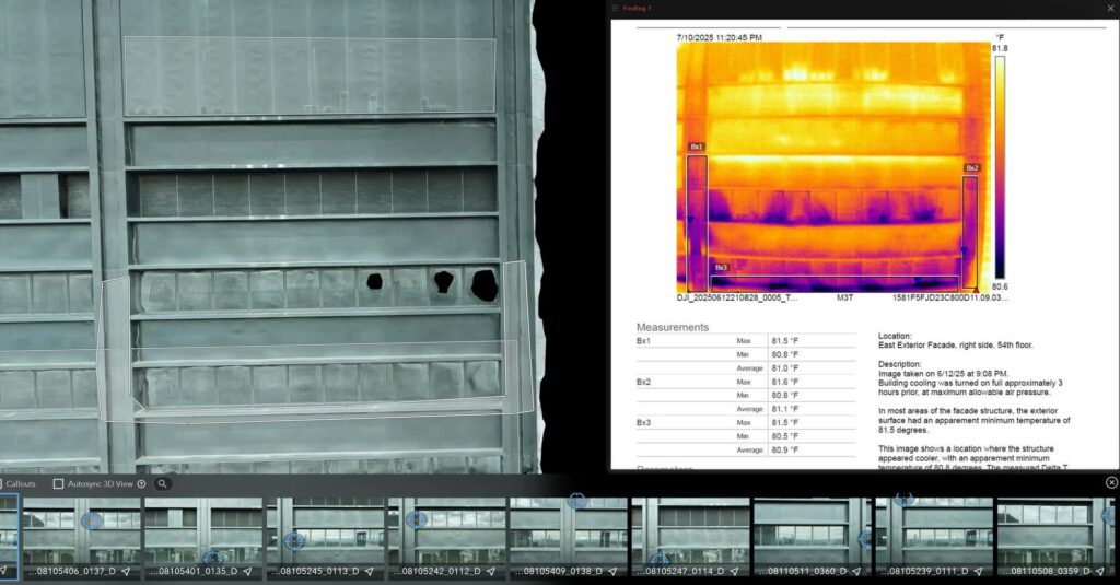
Drones reach facades, roofs, and structures that are slow, costly, or unsafe to access. Harkin captures high-detail visual inspections of building facades and other hard-to-reach features. Thermal imaging adds a second layer, revealing temperature differences the eye cannot see, such as moisture, heat loss, and failing solar cells.
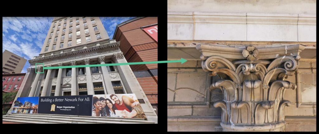
Building facade photo with a zoomed detail of an ornate cornice capital, linked by an arrow
Facade inspection view with a thermal image and measurement report panel for a building exterior

For confined spaces, our specialized collision-tolerant drones go where people should not, recording the interior in detail.
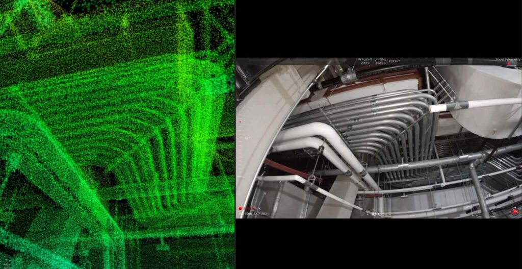
Green point cloud of overhead piping beside the matching camera view inside a confined space

Explore the model

Preview of the Drone Inspections and Thermal Imaging 3D model

Click the player to view and explore the 3D model

What you get

Deliverables

01

Facade inspection imagery

High-detail views of walls, cornices, and hard-to-reach features.

02

Thermal maps and reports

Temperature differences that show moisture, heat loss, and failing cells.

03

Roof and solar inspections

Close looks at roofs and arrays without scaffolding.

04

Confined space capture

Collision-tolerant drones record the interior in detail.

On the job
What the camera finds

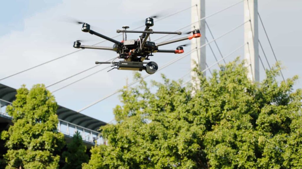
Harkin drone carrying a LIDAR scanner, flying near trees and a bridge

In the field

Green point cloud of overhead piping beside the matching camera view inside a confined space

Confined space

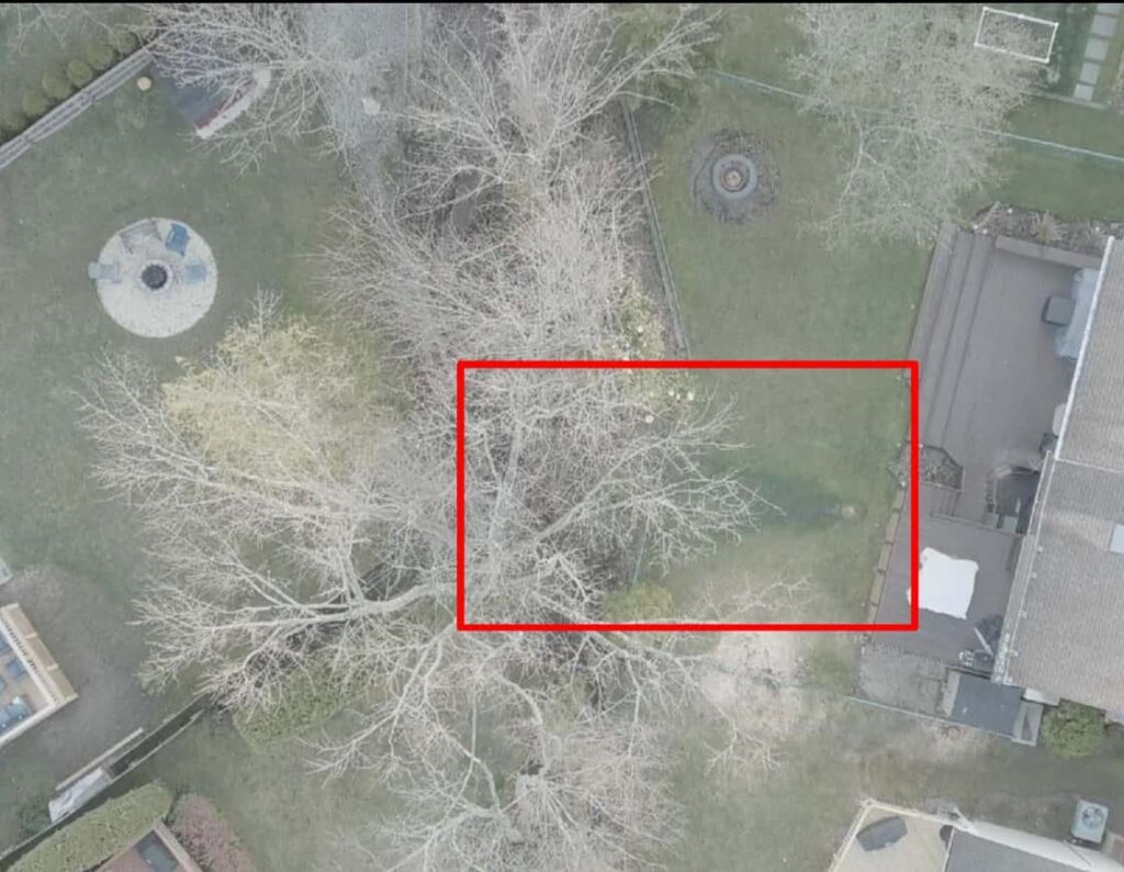
Aerial visible-light view of a courtyard with bare trees and a red box marking the area checked in thermal

Thermal finding, visual view

Who uses it

Built for the people who build

Facade inspection view with a thermal image and measurement report panel for a building exterior

Next step

Let's put your site on the map.

Have a structure to inspect? Let's plan the flight.

Start a project