 Call
Call
Industries | 01
Site data that keeps design moving.
Overview
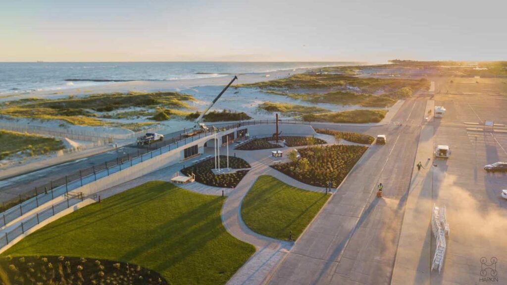
Civil and environmental projects depend on knowing exactly what the ground is doing. Harkin delivers up-to-date topography, cut and fill maps, and earthwork progress reports, so you can check volumes against design and track a site as it changes. Our clients have used our mapping to design flood mitigation systems in upstate New York.
Built for civil and environmental engineers, contractors, and municipalities.
What we capture
01
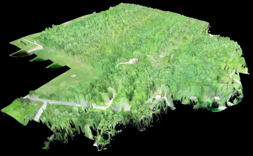
Current ground surface from drone data.
02
Compare existing ground to design grades at a glance.
03
Track volumes moved as the site changes.
04
Documentation of progress, conditions, and safety.
From the site
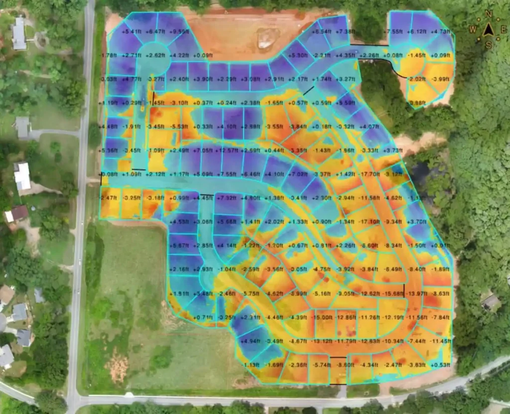
Cut and fill map over aerial imagery
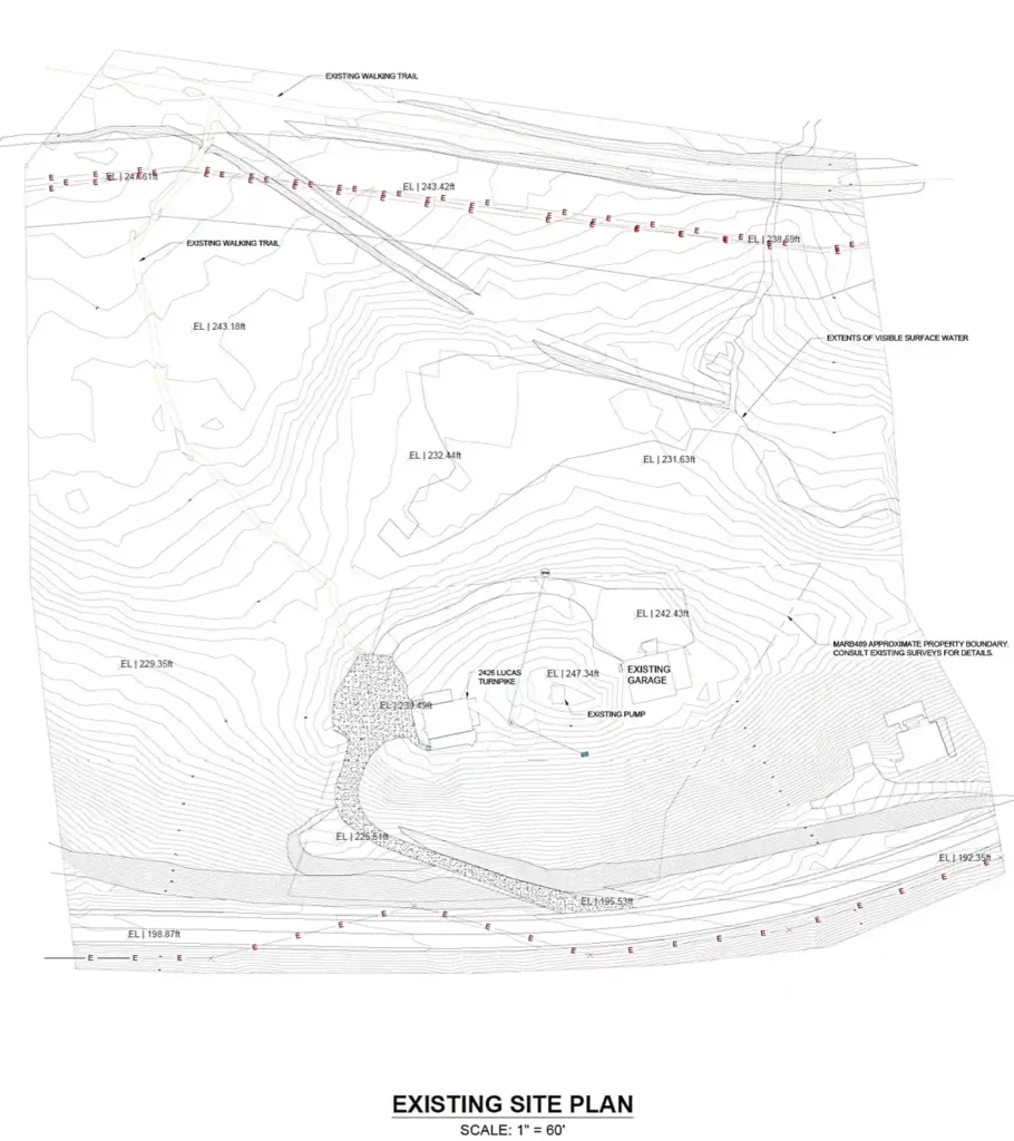
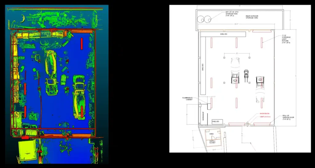
Existing site plan
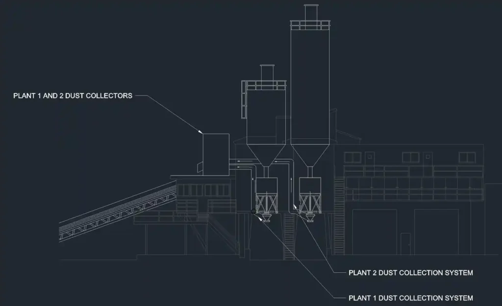
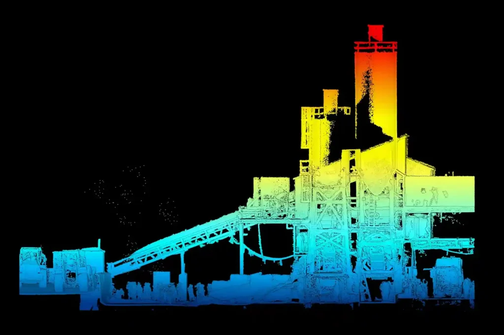
CAD elevation of an industrial plant
Services we use
Next step
Planning site work? Get current data first.
Start a project